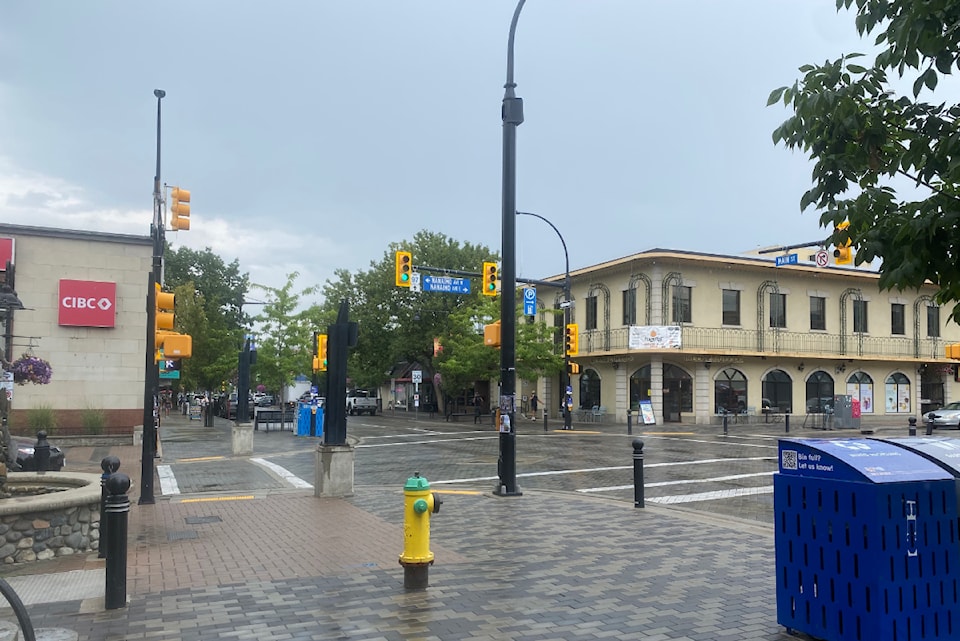
A multi-year dry spell was aided by "encouraging" levels of rainfall in some parts of the Okanagan last month, according to Environment and Climate Change Canada (ECCC).
Kelowna and Vernon both experienced a wetter-than-normal July, recording 41.6 and 37.3 millimetres of precipitation, respectively. Those numbers represent slightly above normal marks for the cities, with records dating back to 1900.
"We've been running on precipitation deficits for a while, so any bit helps," said ECCC meteorologist Matt Loney. "In this case, having things come in normal for the month is an encouraging sign, and it looks like the pattern for the next week will trend toward more precipitation."
Monthly precipitation statistics told a different story in Penticton, with the city only seeing 9.7 millimetres of rain, or 34 per cent of its normal mark. It came in as the 34th driest July on record, dating back to 1907.
Loney said the deviation in rainfall between the cities, all located less than two hours apart by car, is likely due to thunderstorms that parked over Kelowna and Vernon.
"Spatially, thunderstorms can be very localized," he explained. "That's the one thing about summer precipitation numbers...because there's so much convention and thunderstorm activity, one town next to the other can give you vastly different results."
The three Okanagan communities were consistent, however, in recording a warmer-than-normal July.
Penticton experienced its 10th warmest July ever with a mean temperature of 22.8 C. Kelowna, meanwhile, had a mean mark of 22.6 C (14th warmest) and Vernon came in at 22 C (12th warmest).
After residents across the region grappled with heat warnings to end July, daytime high temperatures are expected to stay between 25 to 31 C through the first week of August, according to ECCC.
"It's looking like it will also be wetter-than-normal," Loney said.


